Tutorial: Track recording
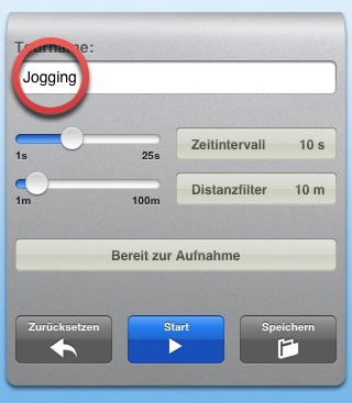
'Record' opens the track recording settings. In the top line the track's name can be defined. You can change it later, too.
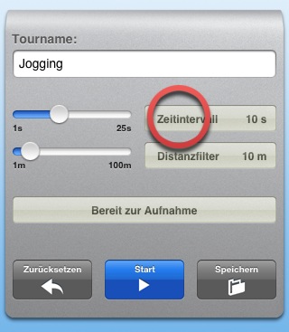
The time interval tells how many seconds have to pass between two coordinates.
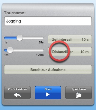
The distance filter defines the minimum distance between two points. Bigger values lead to better precision because the GPS errors are less dominant.
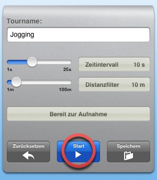
'Start' begins the recording.
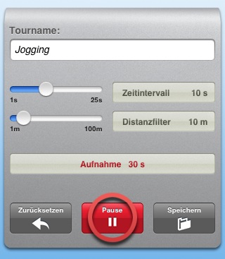
'Pause' interrupts it.

'Resume' starts again.
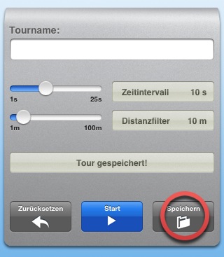
'Save' stores the track. It can be found in the track list for analysis and export.
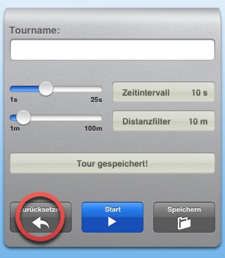
'Reset' deletes the track, if not already saved. Resetting a saved track only makes the red trace in the map disappear.
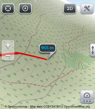
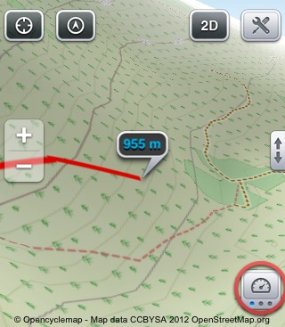
In the map a red trace indicates the recorded track.
'Data' shows the most important numbers for the recorded track: distance, speed, time spent and the average speed.
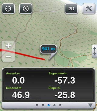
The other Data View pages display your ascent and descent (m/ft), the current slope and the slope speed.
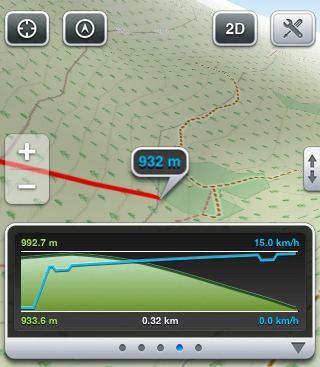
The profile shows your height values and the speed curve.