Tutorial: Route planning
Click on the toolbox in the map view.
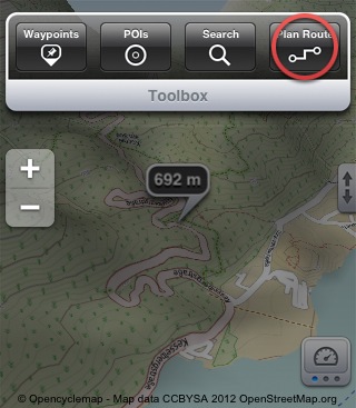
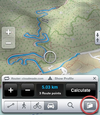
'New route' opens the route planner.
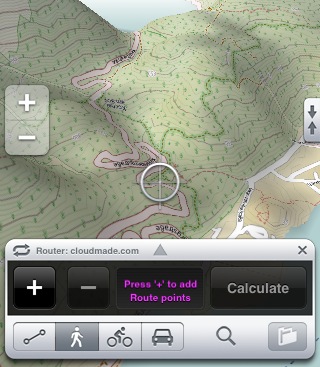
To plan a route, up to 20 route points can be defined that will be connected and form a route.
Move the map to bring the desired routing point under the cursor.
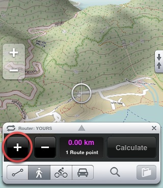
Press '+' to add this route point.
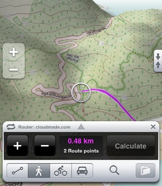
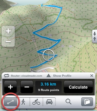
Every added route point will be connected with a lilac-colored line.
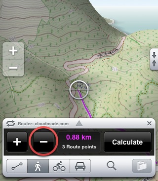
Press '-' to delete the last route point.
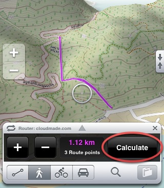
'Calculate' triggers the routing server to start calculating your route.
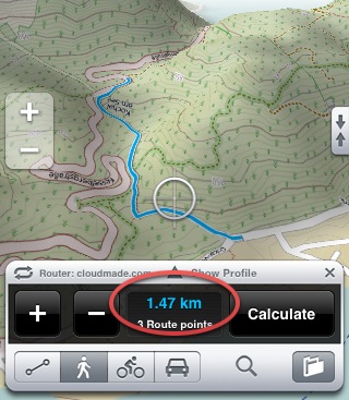
Now you see the calculated route in blue color on the map.
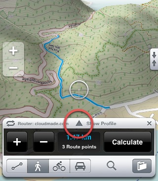
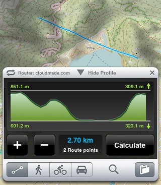
With the triangle you can open the profile view.
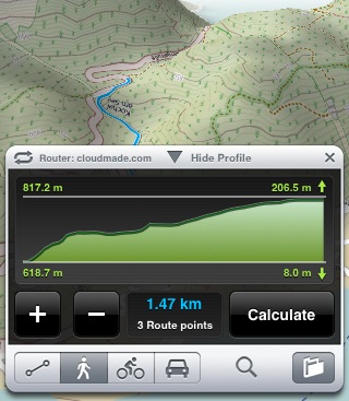
To the left you see the height minimum and maximum as well as the descent and ascent to the right.
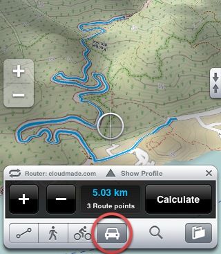
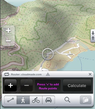
The same route can be calculated for cycling or driving.
When you have no online connection or you want to plan a route off-track, use the direct connection. All route points will connected directly.
This can also be used to see a terrain profile between several points in the map.
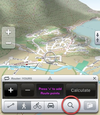
To calculate a route between known places, open the address search. The map will be centered there and you can place a route point.
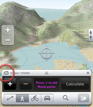
With this button, you can change the routing server. We offer the three best servers available for the OpenStreetMap.
The final route can be saved and you can find it, like all tracks, in the track list.