Tutorial: The Mapview
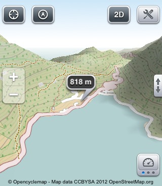
Opening a map shows these elements.
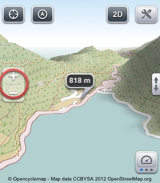
To the left two magnifying glasses for zoom in and out. This can be changed in the settings. (Settings > Map Settings > Zoom Buttons +/-)
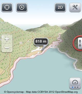
The two little arrows toggle fullscreen map display.
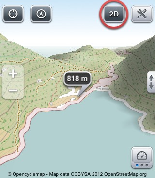
'3D' / '2D' changes between a flat and a perspective view of the map.
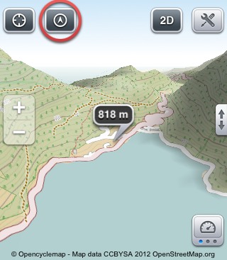
'Compass' / 'North up' orientates the map to north or according to the built-in compass.
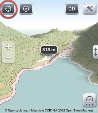
'Position' centers the map to your position.

A blue Cursor indicates the map is centered at your position. There are three cursor types: small, crosshair and a height indicator. This can be changed in the settings. (Settings > Map Settings > Cursor Type)
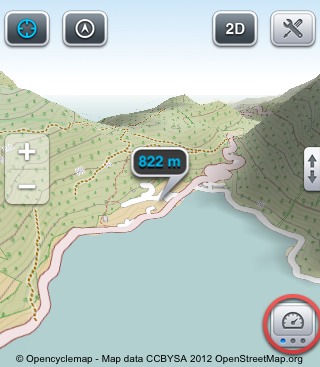
'Data' opens the first data field with the numbers of the currently recorded track.
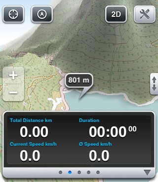
You can scroll to the left and right to see the other pages of the data view.
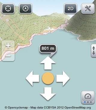
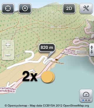
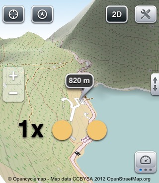
Panning the map with your finger always shows the height above sea level in the cursor.
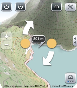
Stroking two Fingers in parallel up or down changes the angle of view. In the 2D view there is a scale bar to the left.
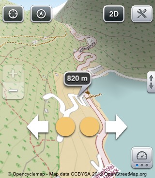
With the common two finger gesture the map can be zoomed seamlessly.
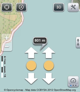
Turning two fingers against each other in the same distance rotates the map view.
Tap twice with one finger to zoom in.
Tap once with two fingers to zoom out again.
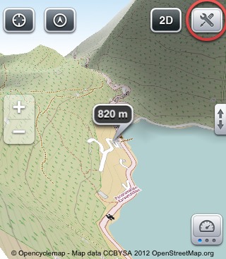
This buttons opens the toolbox.
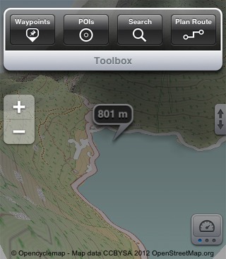
There you find the most useful tools to use while on your way outdoors.